Modern maritime navigation relies heavily on Global Navigation Satellite Systems (GNSS), such as GPS, for positioning, navigation and timing. GNSS data feeds directly into ECDIS, AIS, radar overlays, autopilot systems and other critical bridge equipment. While these systems have transformed navigational safety and efficiency, recent experience has shown that satellite positioning cannot always be assumed to be reliable – particularly in areas affected by geopolitical tension.
Maritime security advisories issued by US MARAD have repeatedly highlighted widespread GNSS disruption (including jamming and spoofing) in regions such as the Persian Gulf, Strait of Hormuz, Gulf of Oman, Red Sea, Black Sea, Baltic Sea and Eastern Mediterranean, reinforcing that this is no longer an isolated or theoretical risk.
GNSS interference is now a credible operational risk that Masters and bridge teams must be prepared to manage.
Jamming and spoofing – Understanding the risk
GNSS interference typically occurs in two forms: jamming and spoofing.
Jamming involves radio-frequency interference that overwhelms GNSS signals, resulting in loss of position, degraded accuracy or integrity alarms. While disruptive, jamming is usually recognisable because systems fail or revert to dead reckoning.
Spoofing is more hazardous. False GNSS signals are transmitted to deceive receivers into calculating an incorrect but plausible position, course or speed. Alarms may not activate, and bridge systems can appear to function normally. If not detected, spoofing can lead to serious navigational incidents, including grounding or collision.
In simple terms, jamming causes loss of signal; spoofing creates misleading information.
Such interference is often associated with geopolitical tensions and may affect multiple vessels simultaneously within a region.
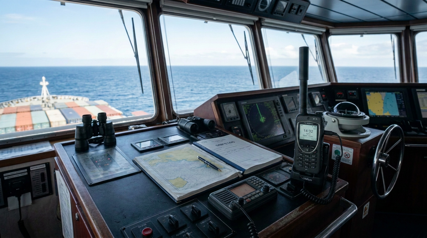
How GNSS disruptions appear on the bridge
GNSS interference rarely affects only one system. Because satellite positioning data is shared across integrated bridge equipment, the effects can spread quickly. Common indicators include:
Sudden position jumps or track deviations on ECDIS
Mismatch between radar images and charted positions
Differences between speed over ground and log speed
Discrepancies between gyro heading and course over ground
AIS targets appearing in implausible positions or behaving erratically
Echo sounder readings that do not match charted depths
Partial degradation is particularly dangerous, as incorrect data may still appear credible.
Maintaining situational awareness
When GNSS reliability is in doubt, situational awareness depends on cross-checking and traditional navigational skills.
Radar ranges and bearings, visual fixes, echo sounder trends, parallel indexing and dead reckoning regain primary importance. Radar overlay on ECDIS is one of the most effective tools for detecting GNSS anomalies, provided it is correctly set up and actively monitored.
Equally important is bridge discipline. Increased watchkeeping vigilance, timely involvement of the Master and clear communication within the bridge team are essential. AIS information should be treated with caution, as other vessels may also be affected by the same interference.
This aligns with industry guidance emphasising that GNSS data should never be used as the sole source of position fixing.
Practical risk control measures
Members are encouraged to treat GNSS disruption as a foreseeable risk rather than an exceptional event. Key measures include:
Procedures: Incorporating GNSS disruption response plans into the Safety Management System, including clear actions for loss or suspected corruption of positioning data.
Training and drills: Regular GNSS failure drills to ensure officers can confidently navigate using non-satellite methods and understand which systems are affected.
Bridge practices: Frequent position verification, disciplined alarm management and avoidance of over-reliance on a single data source.
Technology: Use of GNSS receivers that can use multiple satellite systems (such as GPS, Galileo, GLONASS and BeiDou), multiple frequencies, inertial aids, and improved integrity monitoring where available, while recognising that technology supports, but does not replace, good seamanship.
Reporting and learning: Masters are strongly encouraged to report GNSS interference incidents, including suspected spoofing or AIS anomalies, through established channels such as the USCG Navigation Centre (NAVCEN). Timely reporting supports wider maritime domain awareness and enables sharing of warnings to other vessels operating in affected areas.
Key takeaway
GNSS disruption is an increasingly common feature of the modern operating environment. Safe navigation in these conditions relies on preparedness, scepticism and competence. When uncertainty arises, bridge teams must be ready to question what the screen shows and fall back on fundamental navigational principles.
Members are also recommended to refer to our publication Risk Focus: Vessel Cyber Security, which provides clear, practical guidance for crews on how to prevent and minimise cyber risks to onboard systems. This publication complements the above guidance by reinforcing the link between cyber resilience and navigational safety.